StoryMaps and Web Applications
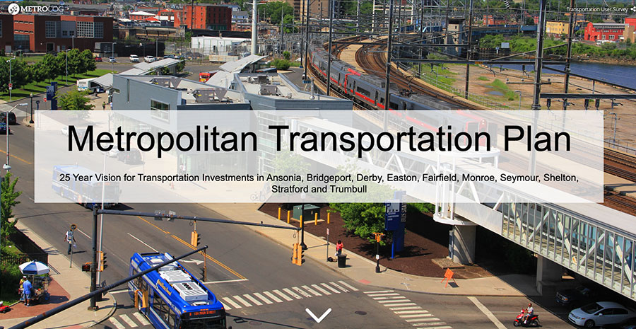
Metropolitan Transportation Plan
25 Year Vision for Transportation Investments in Ansonia, Bridgeport, Derby, Easton, Fairfield, Monroe, Seymour, Shelton, Stratford and Trumbull.
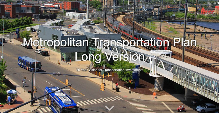
Metropolitan Transportation Plan – Long Version
25 Year Vision for Transportation Investments in Ansonia, Bridgeport, Derby, Easton, Fairfield, Monroe, Seymour, Shelton, Stratford and Trumbull.
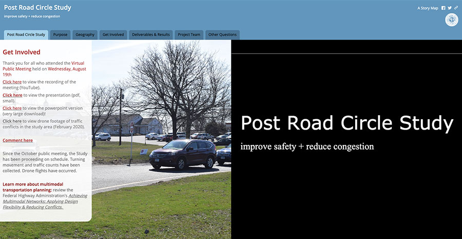
Post Road Circle Study
Through this study, the Town of Fairfield and MetroCOG will have a comprehensive planning document that determines improvements to address vehicular safety, bicycle/pedestrian safety, and congestion. Both near- and long-term strategies, at various funding levels will be identified.
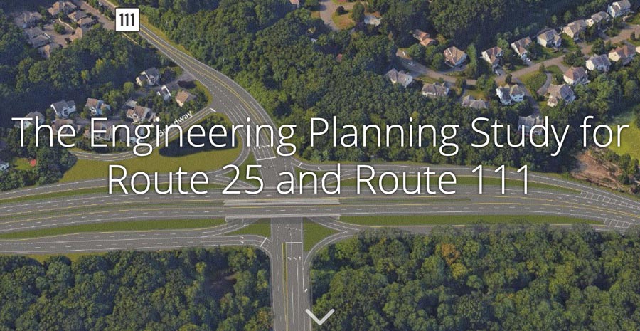
The Engineering Planning Study for Route 25 & 111
This Engineering Planning Study developed a comprehensive transportation improvement plan for Route 25 and Route 111 in northern Trumbull and the southern half of Monroe.
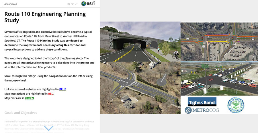
The Engineering Planning Study for Route 110
The Route 110 Planning Study was conducted to determine the improvements necessary along this corridor and several intersections to address these conditions.
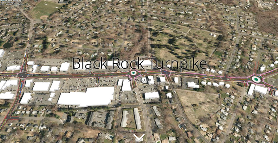
Black Rock Turnpike Safety Study
The purpose of the Black Rock Turnpike Safety Study (Black Rock Study) was to explore alternatives and strategies that will enhance safety for all users along the corridor, including pedestrians, bicyclists, transit users, and motorists.
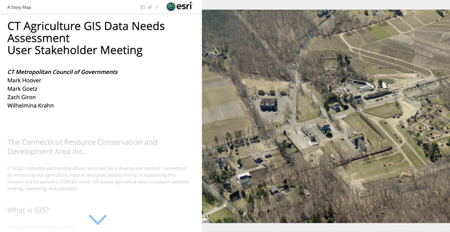
CT Agricultural GIS Data Needs Assessment
This needs assessment was initiated in response to the current shortcomings associated with working with agriculture GIS data in CT.
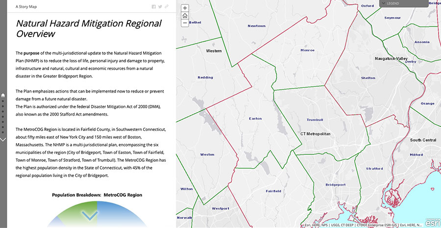
Natural Hazard Mitigation Regional Overview
The purpose of the multi-jurisdictional update to the Natural Hazard Mitigation Plan (NHMP) is to reduce the loss of life, personal injury and damage to property, infrastructure and natural, cultural and economic resources from a natural disaster in the Greater Bridgeport Region
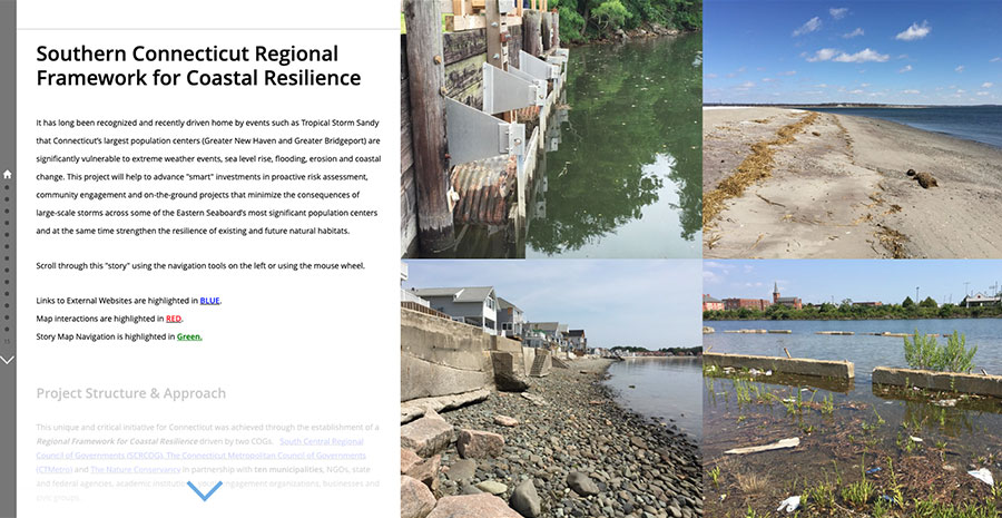
Southern Connecticut Regional Framework for Coastal Resilience
This project was conducted in 2016 in collaboration with South Central Regional COG and the nature conservancy in order to advance “smart” investments in proactive risk assessment, community engagement and on-the-ground projects that minimize the consequences of large-scale storms across some of the Eastern Seaboard’s most significant population centers.
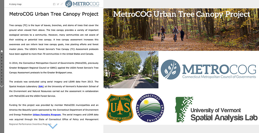
Urban Tree Canopy Project
In 2014, MetroCOG applied the USDA Forest Service’s Tree Canopy Assessment protocols to the Greater Bridgeport area. The assessment was carried out by the Spatial Analysis Laboratory (SAL) at the University of Vermont’s Rubenstein School of the Environment and Natural Resources in collaboration with MetroCOG and the USDA Forest Service.
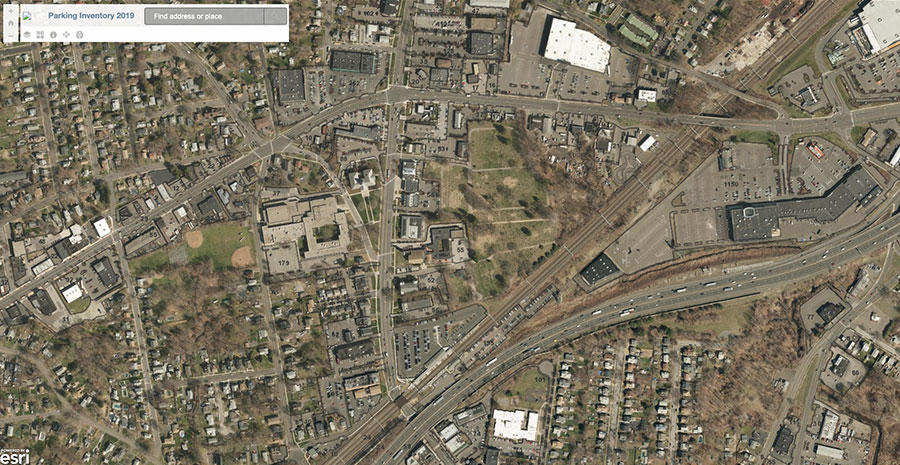
MetroCOG Parking Inventory 2019
The parking inventory was created using planimetric data and updated aerial imagery. This application displays the number of regular and handicap spaces available in most major parking lots in the region.
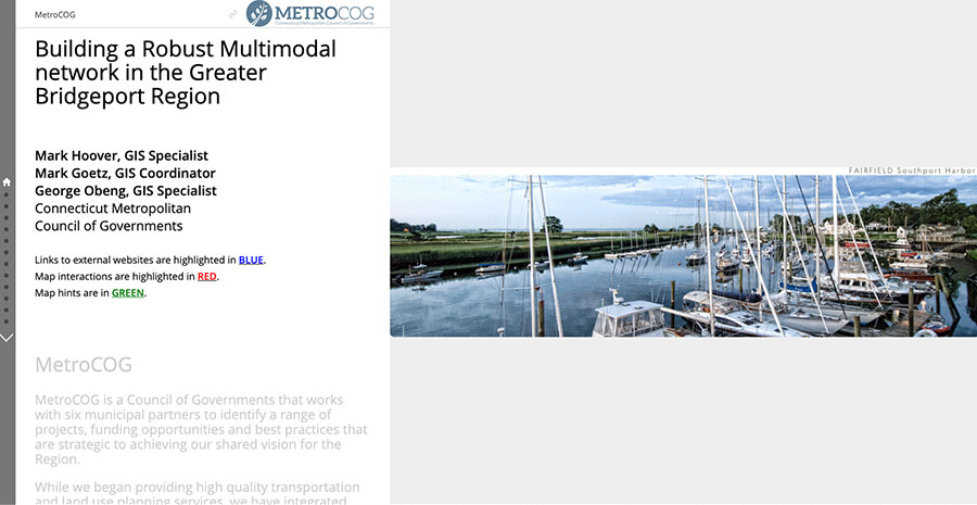
Building a Robust Multimodal Network in the Greater Bridgeport Region
A multimodal network was developed by the Connecticut Metropolitan Council of Governments in order to give a realistic model of pedestrian movement in the region.
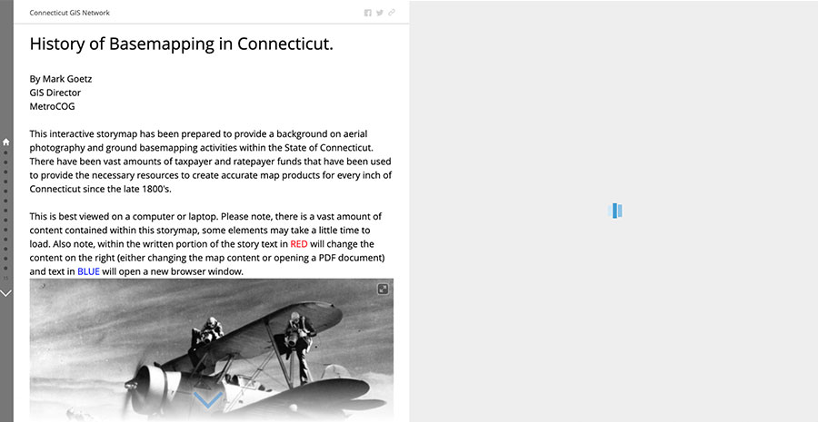
History of Basemapping in Connecticut
This interactive storymap has been prepared to provide a background on aerial photography and ground basemapping activities within the State of Connecticut.
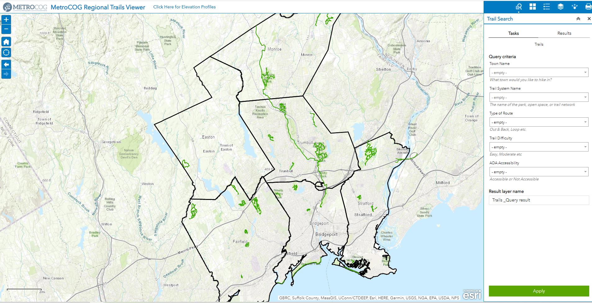
MetroCOG Regional Trail Mapping Application
The MetroCOG Regional Trails Viewer was created in order to provide accurate, up to date information regarding recreational trails throughout the region. The mapping effort involved over a year of data collection in the field and contains over 77 miles of trails. The data will be maintained and updated by MetroCOG staff and verified by trail managers.

